Americas · 1 cities
Things to Do in Aruba
Oranjestad and the Palm–Eagle Beach strip in one place: why the weather is the most reliable in the Caribbean, what the rough side of the island holds, and how far anything really is.
491 tours listed by Viator 1 cities we cover Free cancellation






Where to go
Cities of Aruba
In the order Viator’s own catalogue puts them — most-booked first, not alphabetical.
Full list
All cities, by region
Grouped by region using Viator’s own map of the country. The first block is the places it files directly under Aruba.

Practical info
Know before you book
The things that change a decision — not a retelling of the guidebook.
Aruba sits outside the hurricane belt
It is far enough south that tropical storms almost never reach it, which is the island’s real structural advantage over the rest of the Caribbean. Rain totals are tiny and the trade wind blows every afternoon.
The island is thirty kilometres long
Nothing is more than forty minutes from anything else, and a public bus runs the hotel strip into Oranjestad every fifteen minutes for a couple of dollars. A hire car is optional unless you are going into the national park.
Arikok park is a fifth of the island and it is desert
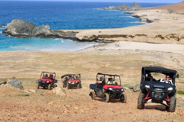
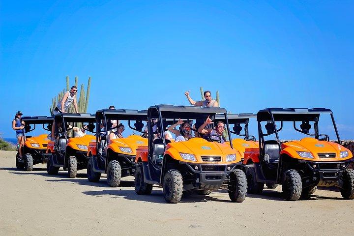
Cactus, lava rock, a wild windward coast and the natural pool reached only by four-wheel drive, horse or on foot. It is nothing like the hotel strip and it is why the UTV and jeep safaris exist.
The Antilla wreck is snorkellable
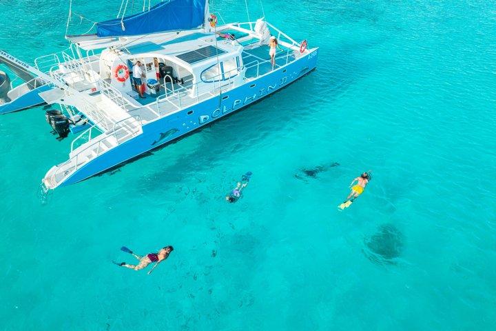
A 120-metre German freighter scuttled in 1940, lying in shallow enough water that snorkellers see most of it and divers get the rest. It is one of the largest wrecks in the Caribbean and the anchor of the island’s boat trips.
Florins on the price tag, dollars in the till
The Aruban florin is the currency and US dollars are accepted everywhere at a stable rate. Cards work universally. There is no practical reason to exchange money before arriving.
Four languages in ordinary use
Papiamento is the mother tongue, Dutch is official, and English and Spanish are spoken by almost everyone in the tourism trade. This is a Dutch Caribbean island, which shows in the architecture of Oranjestad and in the food.
When to visit
Aruba through the seasons
What is open, how busy it gets, and when to book ahead.
High season
Dec–Apr
- Best for
- Perfect weather, every boat running, the island at its liveliest.
- Crowds
- Booking tip
- The most expensive months by a wide margin — book flights and hotels well ahead.
Shoulder
May–Jun
- Best for
- The same weather at considerably lower prices, and quiet beaches.
- Crowds
- Booking tip
- The best value window of the year here.
Low season
Jul–Oct
- Best for
- Lowest rates, warm sea, and no real storm risk unlike the rest of the region.
- Crowds
- Booking tip
- Carnival in the weeks before Lent is the one other date that fills the island.
Late autumn
Nov
- Best for
- The island’s brief wetter spell — still mostly sun, with prices at their lowest.
- Crowds
- Booking tip
- Rain here means a short shower, not a washed-out day.
Frequently asked
Aruba: common questions
How many days do you need in Aruba?
Five to seven days is the usual stay, and enough for a boat trip, a day in Arikok and plenty of beach time. The island is small; the appeal is that you do not have to plan around the weather.
What does a tour in Aruba cost?
Aruba is not in our fifty-city price index, so we avoid quoting a median. It is at the higher end of the Caribbean, with catamaran sails, UTV safaris and sunset cruises making up most of the catalogue and priced in US dollars.
When is the best time to visit?
Any month works, which is unusual. December to April is the driest and busiest; May, June and September are the value months with effectively the same weather. Storm risk is negligible year round.
Do you need a hire car?
Not for the hotel strip and Oranjestad, which the bus covers well. You do need one — a four-wheel drive specifically — for Arikok and the natural pool, and most people take the guided UTV or jeep trip instead of hiring.
Palm Beach or Eagle Beach?
Palm Beach for high-rise hotels, restaurants, water sports and activity. Eagle Beach for low-rise resorts, more space and the wider stretch of sand — it regularly ranks among the best beaches in the world. They are ten minutes apart.